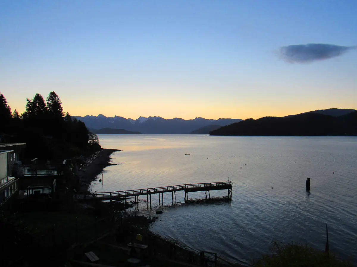
Sunshine Coast BC at a glance
The Sunshine Coast is part of mainland Canada, yet there is no road from Vancouver. You reach it by ferry, boat or seaplane. The tourism region runs from Howe Sound in the south to Desolation Sound in the north, and Highway 101 links the towns along the way. Most first-time visitors take the ferry from Horseshoe Bay to Langdale and stay between Gibsons and Sechelt, where Roberts Creek sits. If you would rather leave the planning to someone else, look at Vancouver day tours and Sunshine Coast trips.
The coast lies in the territories of the shíshálh and Sḵwx̱wú7mesh Nations. Place names such as xwesam / Stelḵáya for Roberts Creek point to a history that long predates the ferries and the highway.
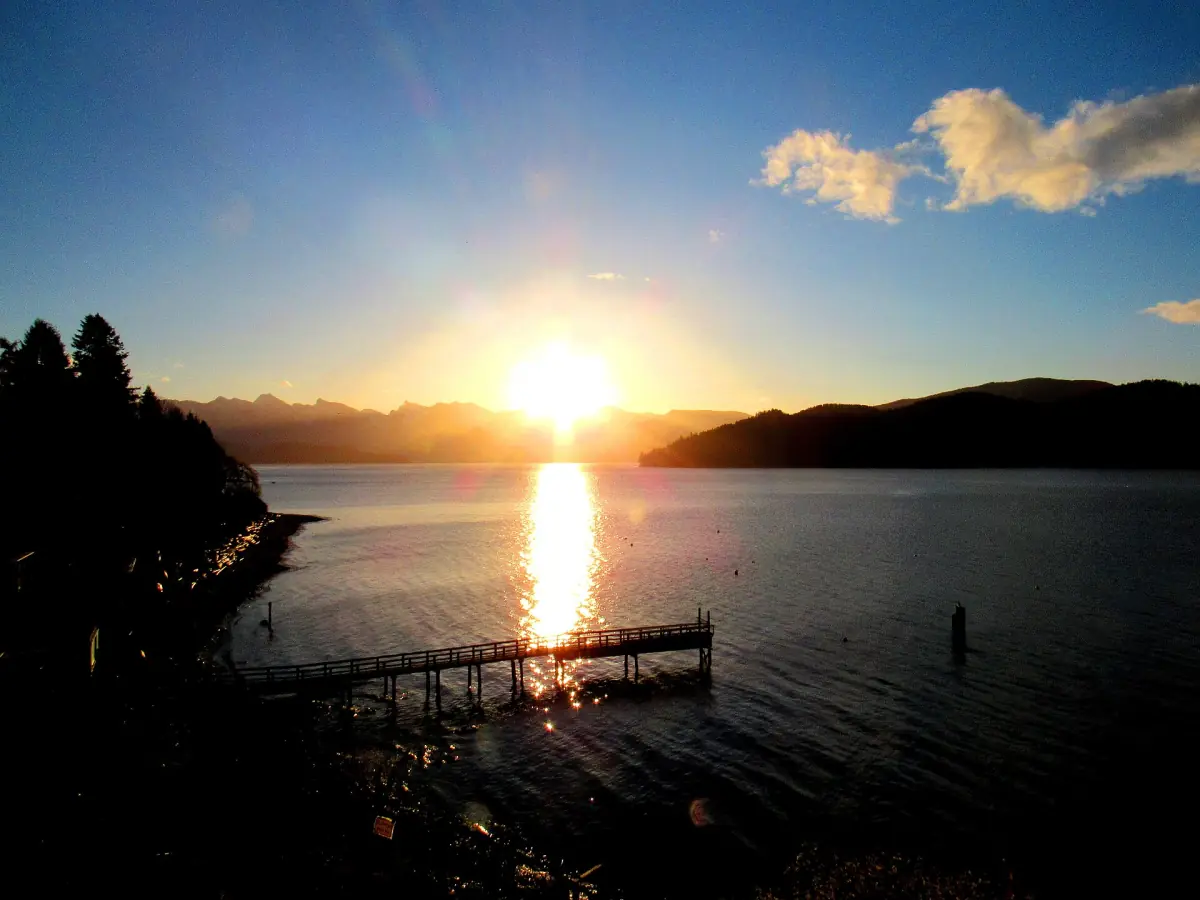
Towns from Gibsons to Pender Harbour
Listed from south to north along Highway 101.
| Place | What it is | Good for |
|---|---|---|
| Gibsons | Harbour town on a slope above Howe Sound, close to the Langdale ferry | Public market, public art, Soames Hill, hotels in Upper Gibsons |
| Roberts Creek | Village with a pier, a mandala and forest trails between Gibsons and Sechelt | Sunsets, beach walks, camping, B&Bs |
| Sechelt | Town on a narrow isthmus between Sechelt Inlet and the Salish Sea | Hotels, rentals, B&Bs, a base for the inlet |
| Halfmoon Bay and Secret Cove | Communities north of Sechelt on Highway 101 | Starting point for Smuggler Cove Marine Park |
| Pender Harbour | A harbour landscape with several small places, among them Madeira Park, Kleindale and Garden Bay | Boating and quiet stays, not one compact town |
| Egmont | Village near Earls Cove at the end of the road to the trailhead | The walk to the tidal rapids |
| Powell River area | Reached by a second ferry from Earls Cove to Saltery Bay | The long-distance Sunshine Coast Trail |
For most first-time visitors, Gibsons or Roberts Creek works best as a base: both lie close to the Langdale ferry, and a bus links them. Choose Sechelt if you plan to spend most of your time north of Roberts Creek.
Our pick: the region from the air
The 45-minute flight shows Howe Sound and the islands from above, a view of the coast rather than a stop in a town.
Hand-picked tours, booked through GetYourGuide. Prices are indicative starting prices in US dollars (as of October 2026). Tap a tour for live availability and the current price in your currency.
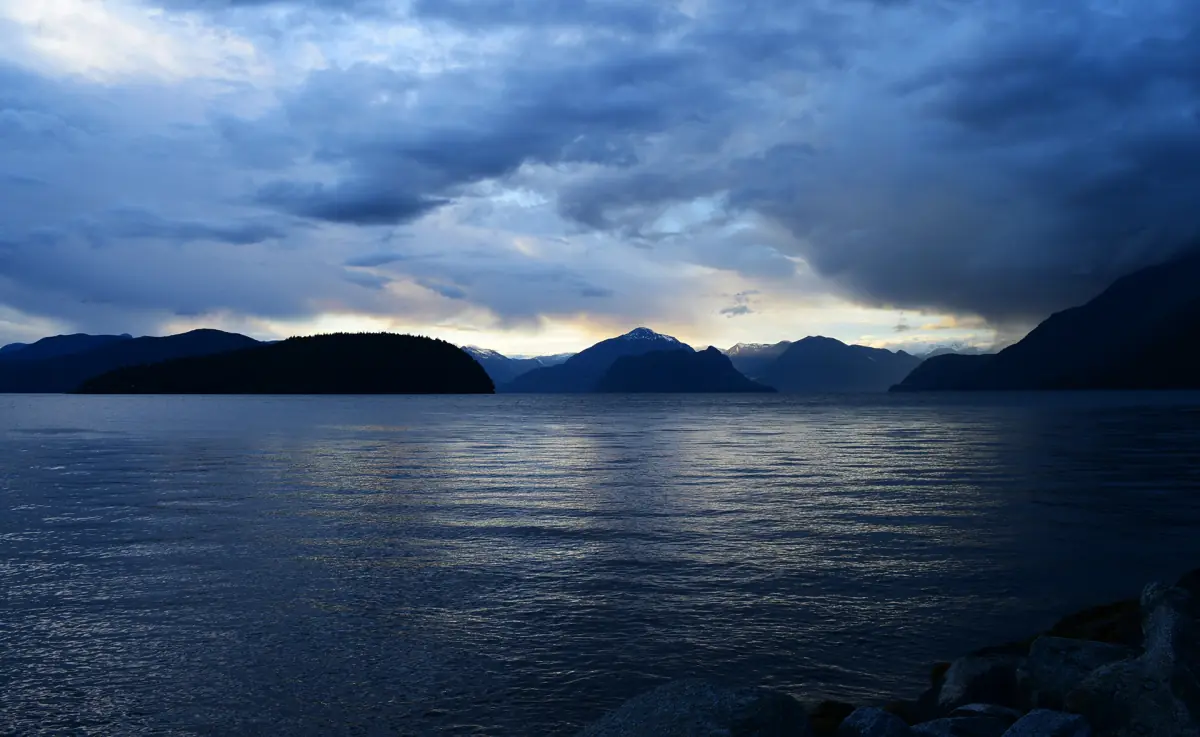
Vancouver and Sunshine Coast tours
Whale watching, seaplane flights and day trips from Vancouver, with live prices and availability.
The two ferry crossings on the Sunshine Coast
The coast is reached in two steps. The first is the BC Ferries Route 3 from Horseshoe Bay in West Vancouver to Langdale, a 40 minute crossing. Terminal fares in 2026 are CAD 16.45 for passengers aged 12 and over and CAD 58.40 for a standard vehicle up to 6.1 m, plus a fuel surcharge. The ferry page has the full fares, check-in times and parking.
The second crossing is only for the far north. Earls Cove to Saltery Bay takes about 50 minutes and connects the southern coast with the Powell River side. Boarding follows the order of arrival, with no reserved space, and check-in closes 5 minutes before the scheduled departure for foot passengers and vehicles. Do not count on a through bus or a fixed connection to Powell River, and add the drive and the waiting time to the crossing when you plan.
A seaplane is the alternative to the first ferry. A summer floatplane service flies to a base in Porpoise Bay at Sechelt, so treat it as a seasonal option rather than a year-round replacement.
Nature and trails along the coast
The best-known stop is Skookumchuck Narrows. From Egmont it is a walk of about 4 km each way to Roland Point, where the tide pushes water through the narrows. Turn off Highway 101 onto Egmont Road about 1 km before Earls Cove and drive about 6 km to the parking lot.
Smuggler Cove Marine Park lies near Halfmoon Bay, about 16 km from Sechelt. The access road is Brooks Road off Highway 101, and BC Parks gives 4 km from the parking lot to the cove. Mount Daniel above Pender Harbour is a steep climb that is better suited to fit hikers. More routes, including the walks near Roberts Creek, are on the hiking page.
The Sunshine Coast Trail is a 180 km route from Sarah Point in Desolation Sound to Saltery Bay. It lies in the hills of Powell River, so it is not a day trip from Roberts Creek.
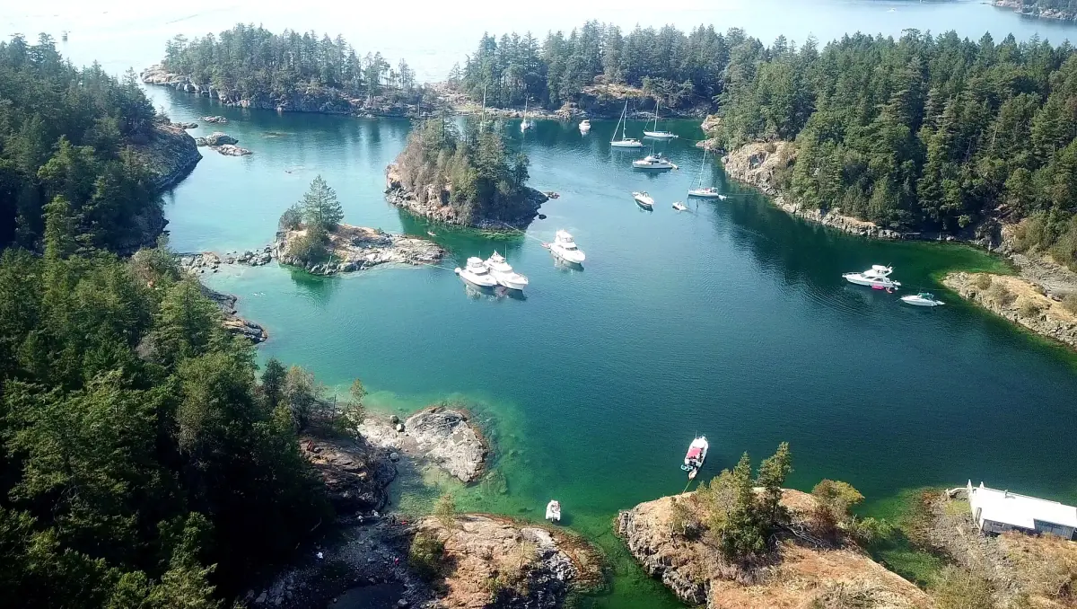
Season, weather and where to sleep
Three pages to read before you book.
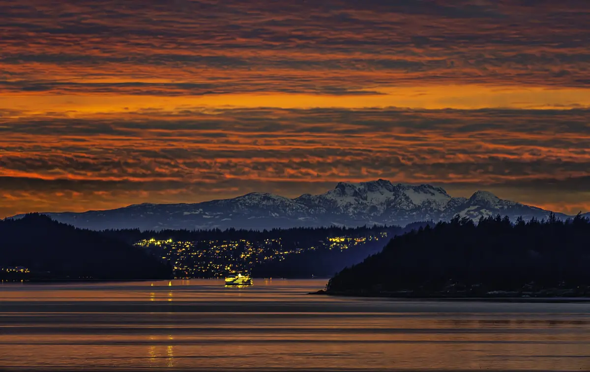
Weather and best time
July and August are the warmest and driest months in the Vancouver Harbour climate table.
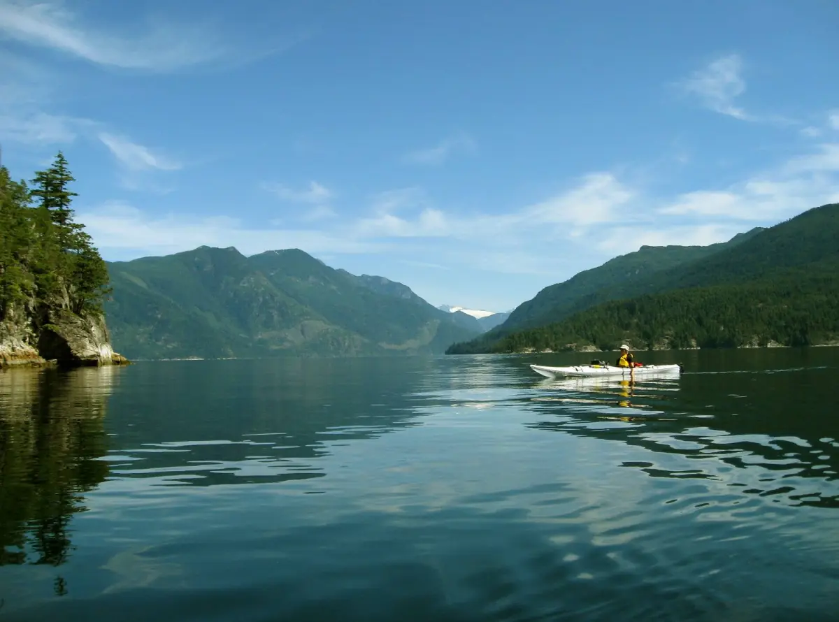
Where to stay
B&Bs in Roberts Creek, hotels in Gibsons and Sechelt, plus 2026 taxes.
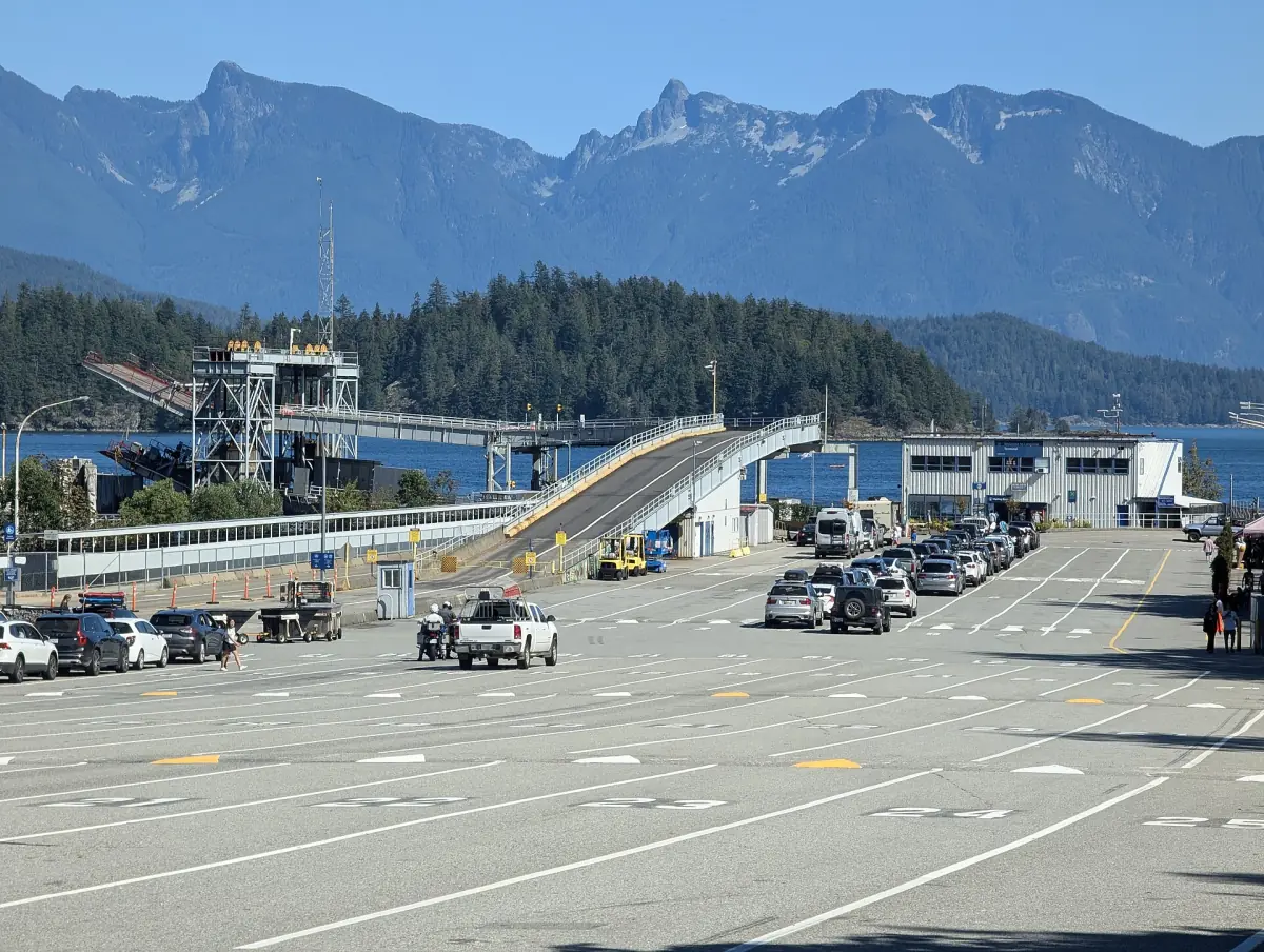
Horseshoe Bay ferry
Fares, check-in and the bus from Langdale to Roberts Creek.
Roberts Creek is mostly bed and breakfasts, and classic hotels are found in Gibsons and Sechelt. Camping at Roberts Creek Provincial Park is first come, first served. Clocks will not change on 1 November 2026, because British Columbia now keeps daylight time all year.
Sunshine Coast: frequently asked questions
Is the Sunshine Coast an island?
No. It is part of the mainland, but no road connects it to Vancouver, so you need a ferry, a boat or a seaplane. Think of it as an island in practice.
How long does it take to get from Vancouver to Roberts Creek?
The ferry crossing alone takes 40 minutes. The total depends on the traffic to Horseshoe Bay, the wait at the terminal and the onward bus or drive, so no fixed total can be promised. Allow plenty of time if you travel by public transport.
Which town is best for a first visit?
Gibsons suits you if you want a harbour, a market and restaurants within walking distance. Roberts Creek suits you if you prefer a quiet village with a pier and forest trails. Both are close to the Langdale ferry.
Can I drive from Gibsons to Powell River?
Not all the way. Highway 101 runs north to Earls Cove, then a ferry of about 50 minutes crosses to Saltery Bay, and the road continues to Powell River. Plan the second ferry as part of the trip.
Is roberts-creek.com the official Sunshine Coast site?
No. This is an independent travel guide. It is not run by the Sunshine Coast Regional District, Destination BC, BC Ferries or BC Parks, and it has no link to any tour operator or hotel.