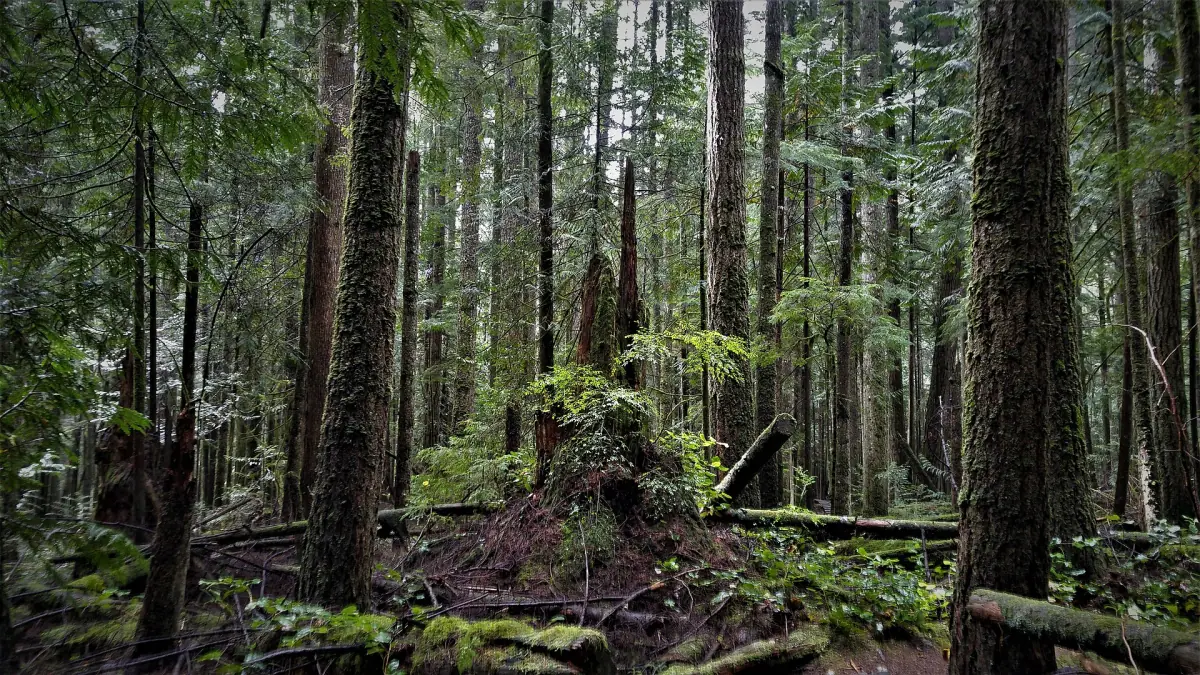
Sunshine Coast hiking near Roberts Creek
The Sunshine Coast Trail is the best-known name, but it does not run through Roberts Creek. It crosses the backcountry near Powell River, a long way north and past a second ferry. Near Roberts Creek you walk shorter trails: the forest paths of Cliff Gilker Park, the stairs of Soames Hill in Gibsons and the road walk to Skookumchuck Narrows. Smuggler Cove and Mount Daniel lie further up Highway 101.
If you arrive from Vancouver without a car, plan the ferry and the bus first. The page on Vancouver tours and coast day trips compares your options, and the Horseshoe Bay ferry guide covers crossings and fares.
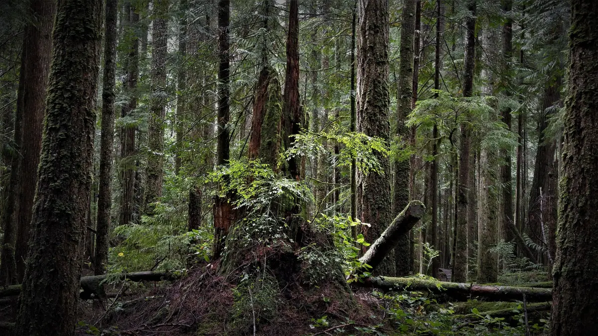
Hikes near Roberts Creek and Gibsons
Four places to start.
Cliff Gilker Park
About 7 km of forest trails with waterfalls and bridges. The parking lot is on the Sunshine Coast Highway at number 3110. Dogs must stay on a leash. Bridge work is under way and several bridges are closed. Do not use closed or unsafe bridges, and do not count on every old loop being open. Check the current park notice before you go.
Roberts Creek Provincial Park
The park has a rocky beach and a campground, not marked hiking trails. Walk the shore here and look elsewhere for a trail. Dogs must be on a leash, and pets are not allowed on the beach area.
Provincial park guide →Soames Hill Park, Gibsons
A regional park with about 4.2 km of trails in total and several viewpoints. The east stairs have 434 steps. It is a network of paths, not one fixed loop. Keep dogs on a leash.
Gibsons guide →Mount Elphinstone Park
Three separate parts of the park lie on the southwest slopes near Roberts Creek. There are no facilities, and the paths are not one signed summit trail. Do not pick or remove mushrooms or plants.
Tours and day trips from Vancouver
Guided outings that pair well with a coast hike, with live prices and availability.
Hikes compared
Distances are approximate. Check conditions before you set out.
| Hike | Where | Distance | Good to know |
|---|---|---|---|
| Cliff Gilker Park | Highway 101 near Roberts Creek | About 7 km of trails | Waterfalls and bridges, some bridges closed |
| Roberts Creek Provincial Park | Flume Road | – | Rocky beach, no marked trails |
| Soames Hill Park | Gibsons | About 4.2 km of trails | 434 steps on the east stairs, viewpoints |
| Mount Elphinstone Park | Southwest slopes near Roberts Creek | – | Three separate parts, no facilities |
| Skookumchuck Narrows | Near Egmont | About 8 km return | About 1 hour each way, tides decide the show |
| Smuggler Cove | Near Halfmoon Bay | About 4 km to the cove | Side paths, no lifeguards |
| Mount Daniel | Garden Bay Road | About 5 km return | Steep, about 2.5 hours, 360 m climb |
| Sunshine Coast Trail | Powell River backcountry | 180 km | Second ferry needed, first-come huts |
For most visitors with one day on the coast, Cliff Gilker Park is a good first choice for forest and water, and Soames Hill suits you if you want a viewpoint and a short, steep climb. Add Skookumchuck Narrows only if you can plan around the tide.
The Sunshine Coast Trail
The trail covers 180 km from Sarah Point in Desolation Sound to Saltery Bay, in the backcountry of Powell River (qathet). From Roberts Creek it is a separate trip. You drive Highway 101 to Earls Cove, about 1.5 hours from Langdale, and take a second ferry to Saltery Bay. That crossing takes about 50 minutes. Boarding is in order of arrival with no reserved space, and check-in ends 5 minutes before departure.
The huts are free to use on a first-come basis. You cannot reserve one or hold a space, each hut allows 1 night, and through-hikers have priority. Groups of 8 or more should think about campgrounds. The trail and huts cost nothing, but ferries and transfers do.
Parts of the Fairview Bay Trail (lower section at Ahlstrom Point) and of the Saltery Bay and Blue Grouse Ridge Trail (upper section at Saltery Creek) are closed for power-line construction, until February 28, 2027 and April 25, 2027. A forest service road, Saltery Bay FSR Br 01, links the Saltery Bay trailhead with Rainy Day Lake, where you rejoin the trail to the north. The closures cover these sections, not the whole trail.
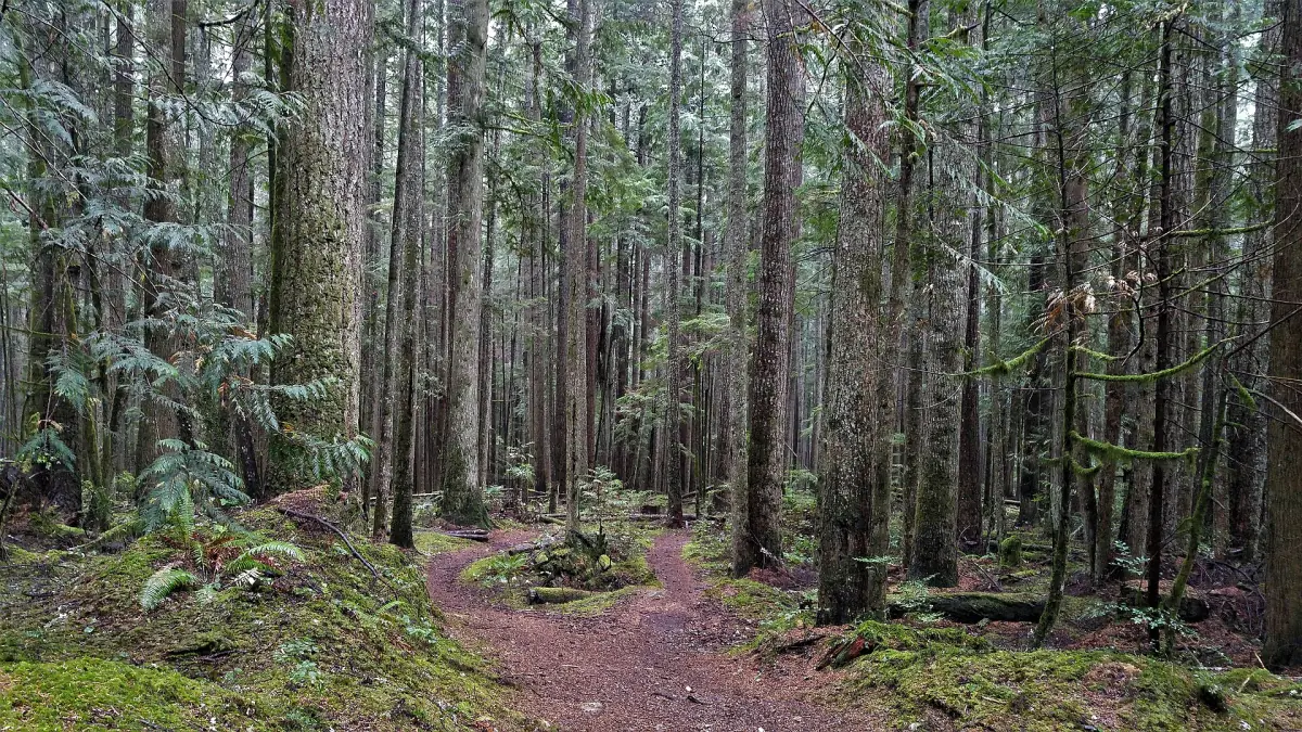
Smuggler Cove, Mount Daniel and Skookumchuck
These three need a car or a long day on the bus.
Smuggler Cove Marine Park
Near Halfmoon Bay and Secret Cove, about 16 km west of Sechelt, with access from Brooks Road off Highway 101. Plan on about 4 km from the parking lot to the cove, plus more time for side paths, because the park has no single defined loop. Dogs must be on a leash and pets are not allowed on the beach areas. There are no lifeguards.
Mount Daniel
The trail starts on Garden Bay Road and climbs steeply through Garden Bay Marine Provincial Park. Expect about 5 km return, around 2.5 hours and 360 m of climbing. Dogs stay on a leash. The mountain matters to the shíshálh Nation, so stay on the trail.
Skookumchuck Narrows
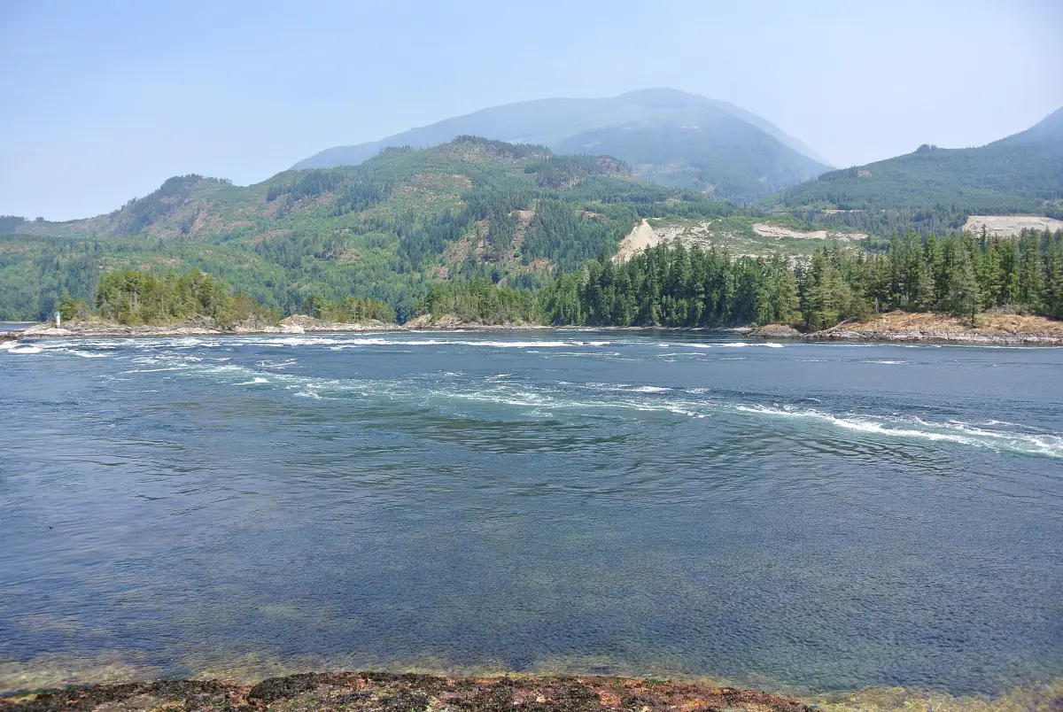
From the parking lot near Egmont it is about 4 km one way, around 1 hour, to Roland Point, so plan 8 km for the return. The rapids depend on the tide.
Skookumchuck Narrows guide →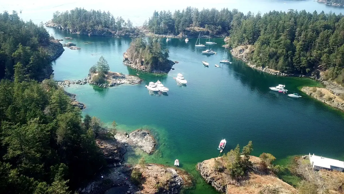
Bears, fire and the right season
Four things to sort out before you walk.
Bears and other wildlife
Keep at least 100 m from bears, wolves, cougars and coyotes, and 30 m from deer and elk. Store food, garbage and anything with a smell so animals cannot reach it. Carry bear spray and know how to use it. If you see a bear, stay calm and do not run.
Fire
Campfire rules change with the fire danger, and local rules can be stricter than provincial ones. Check the current rules for your park before you light anything.
Closures
Trail and bridge work changes from season to season. Look at the current notice for Cliff Gilker Park and for the Sunshine Coast Trail before you travel.
Season
Summer is the drier season. At the Vancouver Harbour climate station the 1991–2020 normals show highs of 23.0 °C in July and August with about 44 mm and 49 mm of rain, against more than 230 mm in January and November. That station is not on the Sunshine Coast, so use it as a rough guide only.
Weather and best time →Plan the rest of your trip
Where the trails fit.
Hiking near Roberts Creek: frequently asked questions
Does the Sunshine Coast Trail go through Roberts Creek?
No. The 180 km trail runs from Sarah Point to Saltery Bay in the Powell River backcountry. From Roberts Creek you need Highway 101 and a second ferry from Earls Cove to Saltery Bay.
What is a good short hike near Roberts Creek?
Cliff Gilker Park has about 7 km of forest trails, and Soames Hill in Gibsons has about 4.2 km of trails with viewpoints. Check the park notice for bridge closures at Cliff Gilker first.
Can I hike here without a car?
Partly. Sunshine Coast Transit route 1 links Sechelt, Gibsons and the Langdale ferry and serves Roberts Creek Store. A single ride costs CAD 2 in 2026, a DayPASS CAD 4, and children up to 12 ride free. Route 90 uses Highway 101 and does not serve that stop, so check the stop list for your trailhead.
Are dogs allowed on the trails?
On a leash at Cliff Gilker Park, Soames Hill, Mount Daniel and Smuggler Cove. Pets are not allowed on the beach areas at Roberts Creek Provincial Park and Smuggler Cove. At Skookumchuck Narrows keep dogs out of the water because of the rapids.
Is this the official site for Sunshine Coast hiking?
No. This is an independent guide. It is not run by Roberts Creek, the Sunshine Coast Regional District, BC Parks or any trail, ferry or tour operator.