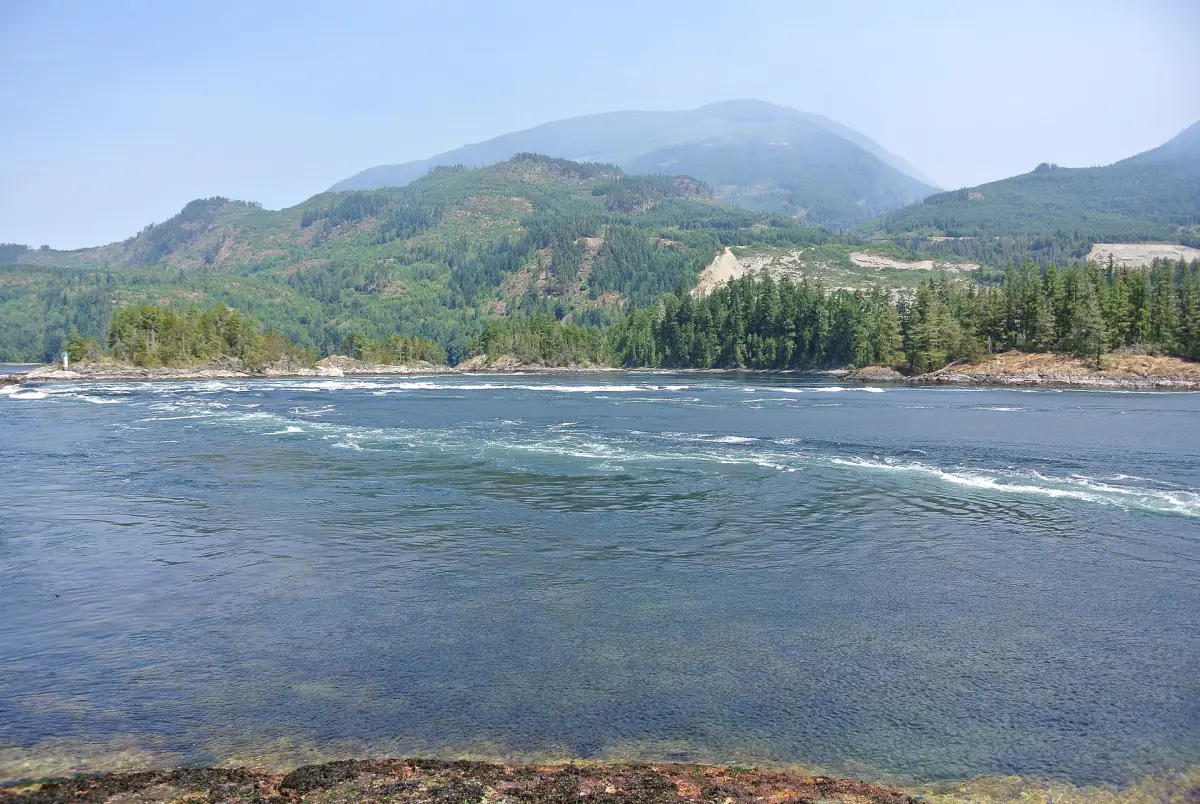
Skookumchuck Narrows at a glance
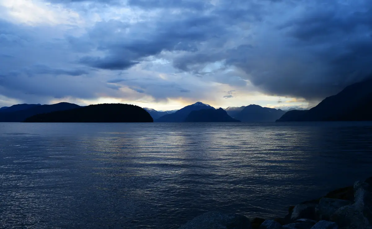
Skookumchuck Narrows is a tidal channel at the north end of the southern Sunshine Coast, near the village of Egmont. On each tide a huge volume of water is pushed through a narrow gap, and the current can top 30 km/h. At times the water level differs by more than 2 m between the two sides of the rapids, which is what creates the standing waves and whirlpools.
You cannot see the rapids from the road. From the parking area it is about 4 km one way, around an hour on foot, to Roland Point, and the round trip is about 8 km. Egmont is a long way up the coast from Roberts Creek, so plan it as a day out. If you want to combine it with a day in the city first, look at Vancouver tours and day trips.
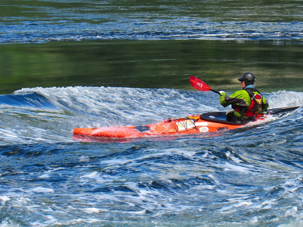
Vancouver tours and Sunshine Coast day trips
Whale watching, sightseeing and day trips from Vancouver with live prices and availability, for the days around your trip up the coast.
Skookumchuck Narrows tides: when to go
There is no single best time of day, because the rapids follow the tide. A viewing-times table for 2026 lists the peak moments for each day. In it, a plus sign marks a flood tide, a minus sign marks an ebb tide, and L or XL marks a stronger event.
Arrive early. The window for the main show is short: roughly 20 to 30 minutes either side of the listed time. Because the walk to Roland Point takes about an hour, you need to leave the parking area well before that time. Waves are never guaranteed on a given day.
Since 8 March 2026, British Columbia has stayed on daylight time all year, and the clocks do not go back on 1 November 2026. Make sure any table you use shows times on daylight time.
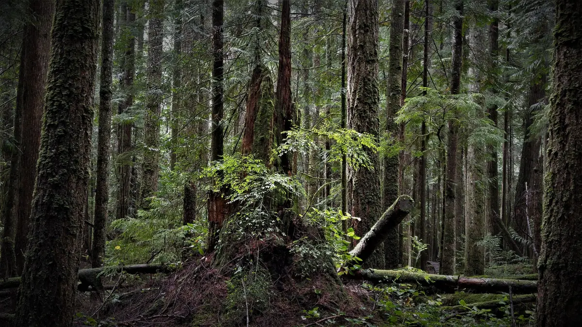
The walk itself is on a forest trail, so dress in layers and bring water and food for the round trip of about 8 km. Climate figures for Vancouver Harbour (1991–2020) show that July and August are the driest months, with about 44 to 49 mm of rain, while November brings about 245 mm. The weather page has the full table.
Boaters read a different publication: the Canadian Hydrographic Service Tide and Current Tables, Volume 5, for Sechelt Rapids, station 4200. The viewing table is for watching from shore, not for navigation.
Roland Point and North Point
Two viewpoints, two kinds of show.
| Viewpoint | What to look for |
|---|---|
| Roland Point | Large standing waves |
| North Point | Whirlpools |
For most first-time visitors, Roland Point is the right target, because the large standing waves are the main event. Add North Point if you have time and the tide is still running.
Getting to the trailhead from Roberts Creek
Follow Highway 101 north through Sechelt. About 1 km before the Earls Cove ferry terminal, turn onto Egmont Road. The parking area is roughly 6 km further. BC Ferries gives about 1.5 hours of driving from the Langdale terminal to Earls Cove, so a day trip from Roberts Creek needs an early start.
To reach the coast from Vancouver, take the sailing from Horseshoe Bay to Langdale, a 40-minute crossing. Fares, check-in and bus details are on the getting there page. The wider region, with its towns and ferry links, is described on the Sunshine Coast page.
Egmont is also the starting point for boat trips that look for sea lions. A sea lion trip is not a whale tour and promises no sightings. For whale watching, see the whale watching page.
Safety and rules at the rapids
The water is powerful. Treat it that way.
Stay on the trail
Keep to the marked path and respect the private property along the access road.
Dogs on a leash
Keep dogs leashed, and do not let them into the water because of the current.
No swimming spot
This is not a place to swim or wade. The current is strong and changes fast.
Paddlers
BC Parks advises crossing only at slack water. The strong rapids are for very experienced paddlers.
Check BC Parks for current notices before you drive up, since trail conditions can change.
More on the Sunshine Coast
Pair the Narrows with other stops.
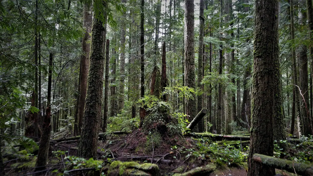
Hiking near Roberts Creek
Trails closer to the village, plus the Sunshine Coast Trail further north.
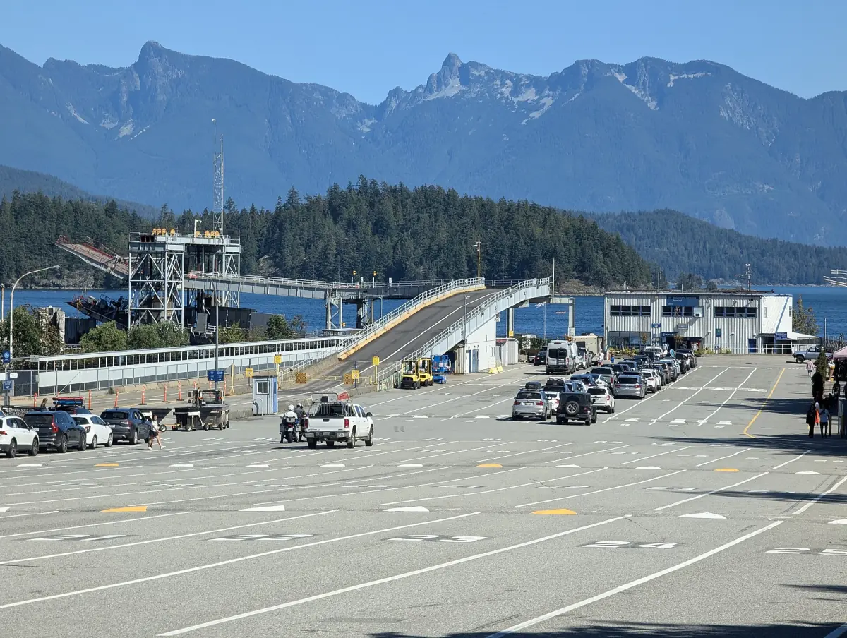
Horseshoe Bay to Langdale
Ferry fares, check-in and the bus to Roberts Creek.
Roberts Creek Provincial Park
Camping, fees and the rocky beach for an overnight stop.
Weather and best time
Monthly temperatures and rain to help you choose a season.
Skookumchuck Narrows: frequently asked questions
How long is the walk to the rapids?
About 4 km one way from the parking area to Roland Point, around an hour. The round trip is about 8 km, and you need time at the viewpoint as well.
What is the best time to see the rapids?
It changes every day with the tide. Use the 2026 viewing-times table and plan to be at the viewpoint 20 to 30 minutes before the listed time, so you do not miss the build-up.
Will I see big waves?
The waves depend on the tide, and nobody can guarantee them on a given day. Larger tide changes make a bigger show.
Can I swim or kayak there?
Do not swim. Kayaks and other paddlecraft should cross only at slack water, and the strong rapids are for very experienced paddlers.
Can I bring my dog?
Yes, on a leash. Keep it out of the water because of the current.
Is roberts-creek.com the official site of Skookumchuck Narrows?
No. This is an independent travel guide with no link to BC Parks, BC Ferries, the Sunshine Coast Regional District, Destination BC or any tour operator.